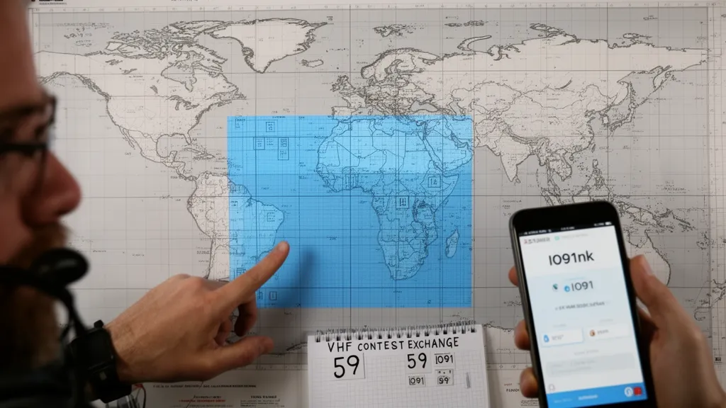
Operator's Verdict: Maidenhead grid squares are ham radio's geographic coordinate system. Your 4-character grid (e.g., IO91) covers a ~200 × 110 km area. Find yours on arrl.org/grid-squares. Used in VHF contest exchanges, FT8 automatic contacts, and DX distance calculations.
The Logic of Grid Squares
The Maidenhead Locator System covers Earth with a nested hierarchy of rectangles. Understanding the hierarchy helps you read any grid square:
Field (2 characters, letter + letter): Divides Earth into 18 × 18 large rectangles, each 20° longitude × 10° latitude. Example: "IO" covers the British Isles region
Square (2 digits, number + number): Divides each field into 10 × 10 smaller squares, each 2° longitude × 1° latitude. Example: "IO91" — the 9th column, 1st row of the IO field (covers London area)
Subsquare (2 characters, lowercase letter + letter): Divides each square into 24 × 24 subsquares, each ~5 × 2.5 km. Example: "IO91nk" — precise location within the IO91 square
Sub-subsquare (2 digits): Rarely used; divides subsquares further to ~600 × 300 metre accuracy.
For most amateur radio purposes, a 4-character grid is sufficient for contest exchanges, and a 6-character grid is sufficient for microwave direction-finding and rover operations.
Pro Tip: Enter your grid square into DXRadar to see propagation paths drawn from your exact location. The propagation map uses your grid to calculate beam headings and spot distances — knowing your grid makes every DX contact more precise.
Finding Your Grid Square
Method 1: ARRL Grid Lookup
Visit arrl.org/grid-squares and enter your ZIP code, postal code, or city name. The tool returns your 4 and 6-character grid square.
Method 2: QRZ.com
If you have a QRZ.com profile (the amateur radio callsign database), your registered address's grid square is displayed on your profile page and is used automatically in logging software that integrates with QRZ.
Method 3: Smartphone Apps
Apps like "Ham Grid Square" (Android), "Grid Finder" (iOS), or WSJT-X's built-in grid calculator can determine your current location's grid square using GPS — useful when operating portable (POTA, SOTA, field operations).
Method 4: Calculate Manually
If you know your GPS coordinates (decimal degrees):
- Longitude: Add 180° to get 0–360°. Divide by 20 → field column letter (A=0, B=1, ... R=17). Remainder × 10/20 → square column digit.
- Latitude: Add 90° to get 0–180°. Divide by 10 → field row letter. Remainder × 10/10 → square row digit.
This is simpler with a calculator and the formula is implemented in every major amateur radio software package — no need to do it manually.
How Grid Squares Appear in Amateur Radio
FT8 and Digital Mode Contacts
When you configure WSJT-X, you enter your grid square in the settings. It appears in every FT8 CQ broadcast automatically:
CQ KD9ABC IO91
The responding station's reply includes their grid:
KD9ABC W5XYZ EM72
WSJT-X calculates the distance between IO91 and EM72 automatically and displays it. Every FT8 contact produces a distance calculation, which feeds into online propagation maps (DXRadar, PSKReporter) as geographic spot lines.
VHF Contest Exchanges
A standard 2m contest exchange:
- You: "KD9ABC IO91, you are 59 IO91"
- Them: "IO91 confirmed, W5XYZ EM72, you are 57 EM72"
The exchange verifies both stations' grids and confirms the contact. Contest logging software then calculates grid multipliers based on unique 4-character grids contacted.
POTA and Portable Operations
When activating a park for POTA, FT8 operators broadcast their current grid square automatically. As you drive to different grid squares during a mobile POTA activation, updating your grid in WSJT-X (or letting the GPS auto-update) gives chasers accurate location information.
Grid Boundary Operations
For VHF contests where grid squares are multipliers, operating from a grid boundary is highly desirable. If you position your station on the border between two grid squares (a 4-character boundary is a straight line on the map), you can activate both grids sequentially with minimal movement.
VHF rover operators specifically plan routes that cross as many grid boundaries as possible, activating each new grid for contacts that need that multiplier. Major VHF contest scores are significantly influenced by rover participation.
Finding grid boundaries: most mapping tools (Google Maps, amateur radio planning apps) can overlay the Maidenhead grid. The boundaries between grids are visible as precise latitude/longitude lines.
Your Grid and Propagation Maps
DXRadar's propagation map displays spot lines between geographic locations. When a spot originates from IO91, the map draws the spot line from that grid's approximate center point. This is how the propagation map creates its live picture of which paths are open — each FT8 decode includes both stations' grids, and the spot line connects those points.
Your grid square is also used to calculate beam headings on software like HamClock and DXLab — when you click a DX station on the map, the software calculates the beam bearing from your grid to theirs, telling you exactly where to point your Yagi.
Frequently Asked Questions
What is a Maidenhead grid square?
The Maidenhead Locator System (also called QTH Locator or grid square system) is a geographic reference system used by amateur radio operators worldwide. It divides Earth into a grid of rectangles identified by alphanumeric codes. The system uses up to 10 characters, but 4-character (field + square) and 6-character (field + square + subsquare) locators are most commonly used in amateur radio. A 4-character grid like 'IO91' covers an area approximately 2° longitude × 1° latitude (roughly 190 × 110 km). A 6-character grid like 'IO91nk' narrows this to about 5 × 2.5 km. Grid squares are named after a developers' meeting in Maidenhead, England in 1980.
How do I find my grid square?
The easiest way to find your Maidenhead grid square is to use an online tool or smartphone app. Several free methods: (1) ARRL Grid Square Lookup at arrl.org/grid-squares — enter your address or ZIP/postal code; (2) qrz.com profile page automatically calculates your grid from your registered address; (3) GPS-based apps like 'Grid Finder' or 'Ham Grid Square' for smartphone; (4) Manual calculation — your grid is derived from your longitude and latitude using a specific formula. Knowing your 6-character grid (e.g., IO91nk for London) is recommended for contest exchanges and digital mode operations.
Why do ham radio contests use grid squares?
Grid squares serve as contest multipliers in VHF and satellite contests. Each unique grid square you contact counts as a separate multiplier toward your final score. Because VHF propagation is geographically limited (line-of-sight range under normal conditions), the grid system provides a natural, geographically meaningful multiplier — working a station 1,000 km away in a different grid is a genuine achievement. On HF, DXCC entities (countries) serve as multipliers. On VHF, grid squares fill the same role. A 4-character grid (like IO91) is the standard for VHF contest exchanges.
What is the difference between a 4-character and 6-character grid?
A 4-character grid (e.g., IO91) covers approximately 190 × 110 km — the size of a large county or small country. A 6-character grid (e.g., IO91nk) subdivides this into a 5 × 2.5 km area. For VHF contest exchanges, 4-character grids are standard — the multiplier system uses 4-character grids because they're a meaningful geographic unit for typical VHF propagation range. For EME (moonbounce), microwave contests, and precision location work (like determining if you're near a grid boundary for a rover activation), 6-character grids provide the required precision. Digital mode software (WSJT-X) uses 4-character grids in FT8 exchanges.
How do grid squares appear in digital mode contacts?
In FT8 and other WSJT-X digital modes, the 4-character grid square is part of the automatic contact exchange. When you call CQ, WSJT-X broadcasts: 'CQ KD9ABC IO91' — your callsign and your 4-character grid. The responding station's software automatically includes their grid in the reply: 'KD9ABC W5XYZ EM72' — their callsign and grid. This grid exchange is automatic and mandatory in the FT8 protocol, ensuring that every digital mode contact includes geographic location data. Contest software and logging programs use the exchanged grids to calculate distance and verify multipliers.